- Daily & Weekly newsletters
- Buy & download The Bulletin
- Comment on our articles
Related articles
Recent


Popular

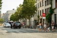
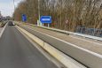
Vehicle to use cameras and sensors to record damage to Brussels streets
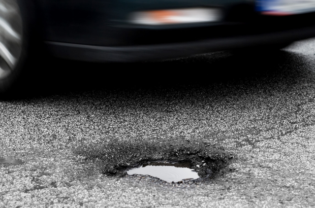
Brussels Mobility is setting loose a vehicle on the streets next month with cameras and sensors that will record damage to roads, pavements and other infrastructure. The goal is to improve efficiency of public works.
The images will be delivered directly to a databank and provide a map of damage that authorities can use to determine what needs to be most urgently fixed and where it is located in proximity to other damage. If repairs can be carried out at the same time, that means less inconvenience to road users and less cost.
“You can compare it to the Google van,” said Inge Paemen of Brussels Mobility, the regional agency in charge of road infrastructure and mobility planning. The Google van records images for street view in its maps application.
Brussels’ vehicle has one crucial difference: cameras and sensors will also be mounted underneath the vehicle. “That way we’ll get a much more precise picture of the roadways,” explained Paemen. “But we’ll also be looking at the surrounding infrastructure, like bollards, lighting and signage.”
Brussels Mobility carries out this exercise every March and plans roadworks based on the data. But the new vehicle should made the job much easier and more efficient. Every year the region spends €5 million on fixing potholes and other damage to road surfaces.
Photo ©Ollo/Getty Images


